 |
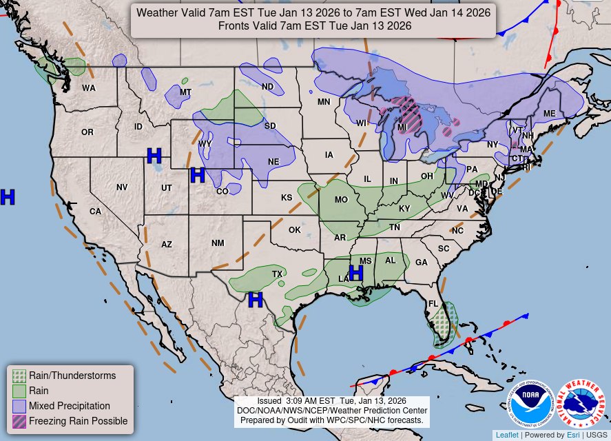
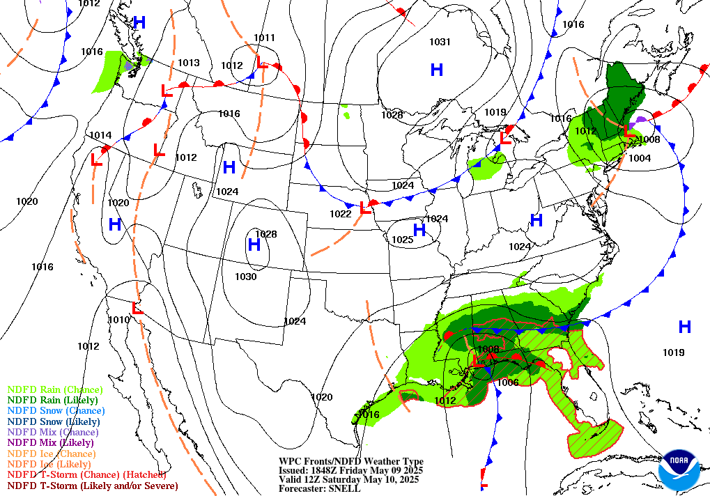
| Short Range Forecast Discussion NWS Weather Prediction Center College Park MD 126 AM EDT Thu Apr 09 2026 Valid 12Z Thu Apr 09 2026 - 12Z Sat Apr 11 2026 ...Heavy rain and thunderstorms continue over the eastern Florida Peninsula through tomorrow... ...Scattered strong to severe thunderstorms and rain over the Central Plains into Mid-Mississippi Valley for Thursday into Friday... ...Active weather pattern expands across much of Western U.S. by Friday into Saturday... Chances for active weather continues as a frontal boundary stretches across Northern California/Central Great Basin into Ohio Valley and the Great Lakes over the next few days. Much of the precipitation along the front will be showers and thunderstorms. Parts of the Northern Plains and Upper Great Lakes may experience some mixed precipitation as the moisture interacts with colder airmass. With an increase in warm Gulf moisture along the front over Central Plains and unstable airmass, Storm Prediction Center has issued a Slight Risk for severe thunderstorms from Northeast Kansas into Southeast Nebraska and Northwest Missouri for Thursday, with a chance for strong wind gusts and large hail. In addition, Weather Prediction Center has issued a Marginal Risk for excessive rainfall over parts of Mid-Mississippi Valley and Central Plains. Chances for thunderstorms and showers build over the Southwest and Southern Plains/Rockies as the frontal system slowly moves southward by Friday. With the warm moisture and instability, chances for downpour increase which can lead to localized flooding over parts of Southern Plains on Saturday. In addition, a occluded frontal system moves closer inland from the Pacific, reinforcing showers and thunderstorm activity over much of Western U.S. with chances for snow over higher elevations and mountaintops, especially over the Sierra Nevada, by late Friday into Saturday. Chances for showers and thunderstorms continue across Florida, especially over the Space Coast southward into Miami, with the overall pattern slowly eroding by Friday morning. Therefore, WPC continues to maintain a Marginal Risk for excessive rainfall and flash flooding as the pattern continues to support 1-3 inches of rainfall for Thursday. Temperatures will continue to trend 5-12 degrees above normal for much of CONUS through Friday, with the exception of the Northern Plains and East Coast, where 10-15 degrees below normal temperatures persist through Thursday. The Northern Plains and the East Coast return to near normal temperatures by Thursday with the Northern Rockies/Plains starting to see a uptick of 10-20 degrees above normal by Saturday. In addition, the West Coast will start to see a cool down of 5-12 degrees below normal. Oudit |
 |
 |
 |
